On the ground
Places that hold the island
A lighthouse, a holly forest, a pair of towns that changed American queer life, and a wilderness that is the only one of its kind in New York.
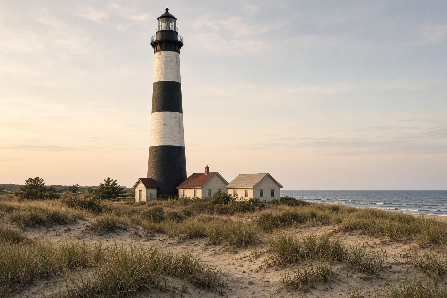
1858 · 182 steps
Fire Island Lighthouse
The tallest lighthouse in New York stands between Robert Moses and Kismet, a black-and-white tower on a cream terrace of keeper buildings.
The first Fire Island light, a 74-foot stone tower finished in 1826, sat at what was then the western end of the island. The inlet marched west, the light became useless, and a new brick tower — 168 feet, lit November 1, 1858 — went up about a mile east. The old foundation is still visible near the Fresnel lens building.
The tower was born cream. It later took the black-and-white bands that make it readable from the sea. Inside: 182 steps to a gallery with the Atlantic, the bay, and the whole inhabited ribbon of the island laid out like a map.
Reach it on the boardwalk from Robert Moses Field 5, on foot from Kismet, or by seasonal water taxi. The Fire Island Lighthouse Preservation Society runs climbs when the tower is open.
- Count on a 20-minute walk from Field 5, longer in soft sand with kids.
- The tower closes in weather and for private events — check the day-of hours before you hike.
- Bring water. There is little shade on the approach.
On the map: Robert Moses, Kismet
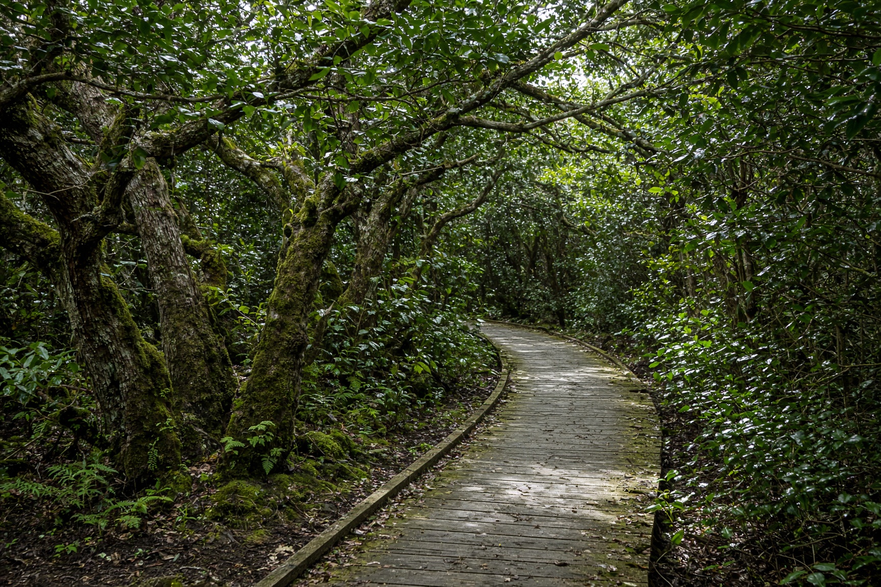
Sailors Haven · May–October
Sunken Forest
A maritime holly forest the dunes keep from the wind — one of the few of its kind on the Atlantic coast.
From the beach, Sailors Haven looks like any other Fire Island stop: marina, visitor center, a guarded strand. Twenty yards inland the world drops. American holly, sassafras, and shadbush knit a low ceiling over a boardwalk that never quite lets you see the ocean.
The forest is “sunken” because the dunes take the salt and the wind. What grows behind them is a relic community, rare enough that the National Park Service treats the boardwalk as the path and everything off it as off-limits.
Ferries run from Sayville in season. Give the loop an unhurried hour, then swim. The contrast — holly shade, then open Atlantic — is the point of the day.
- Ferries are seasonal (roughly May–October). Winter visits mean a long beach walk.
- Stay on the boardwalk. The holly is older than it looks and the understory is fragile.
- Mosquitoes after rain. Pack spray if you are walking at dusk.
On the map: Sailors Haven, Water Island
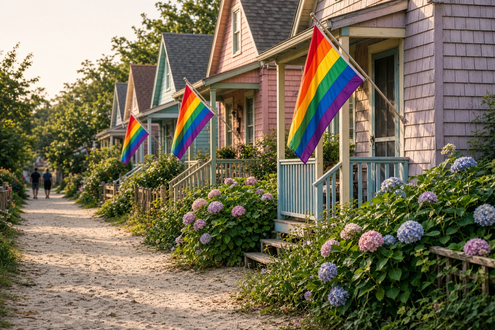
A linked pair of towns
Cherry Grove & the Pines
Two LGBTQ landmarks a ten-minute dune path apart: the Grove’s theater and Ice Palace, the Pines’ marina and tea dance.
Cherry Grove took shape as a theater and boarding-house town and, by the 1930s, as a place where gay New York could be in public. The Community House and Theatre is on the National Register. Ice Palace has never really closed.
The Pines, laid out later, is the bay-and-modern-house counterpart: a marina, a tea dance, and a skyline of architect houses in the trees. On the Fourth of July, the Invasion of the Pines walks the old path from Grove to Pines in drag — a joke that became liturgy.
The Judy Garland Memorial Pathway (and the dunes around it) is the short walk between them. Take the Sayville ferry to either dock; you do not need two tickets to see both towns.
- Both towns are busiest Friday–Sunday in July and August. Weekdays are a different island.
- The Pathway is a sand trail, not a boardwalk. Shoes you can dump sand from.
- Sayville is the correct terminal — not Bay Shore.
On the map: Cherry Grove, The Pines
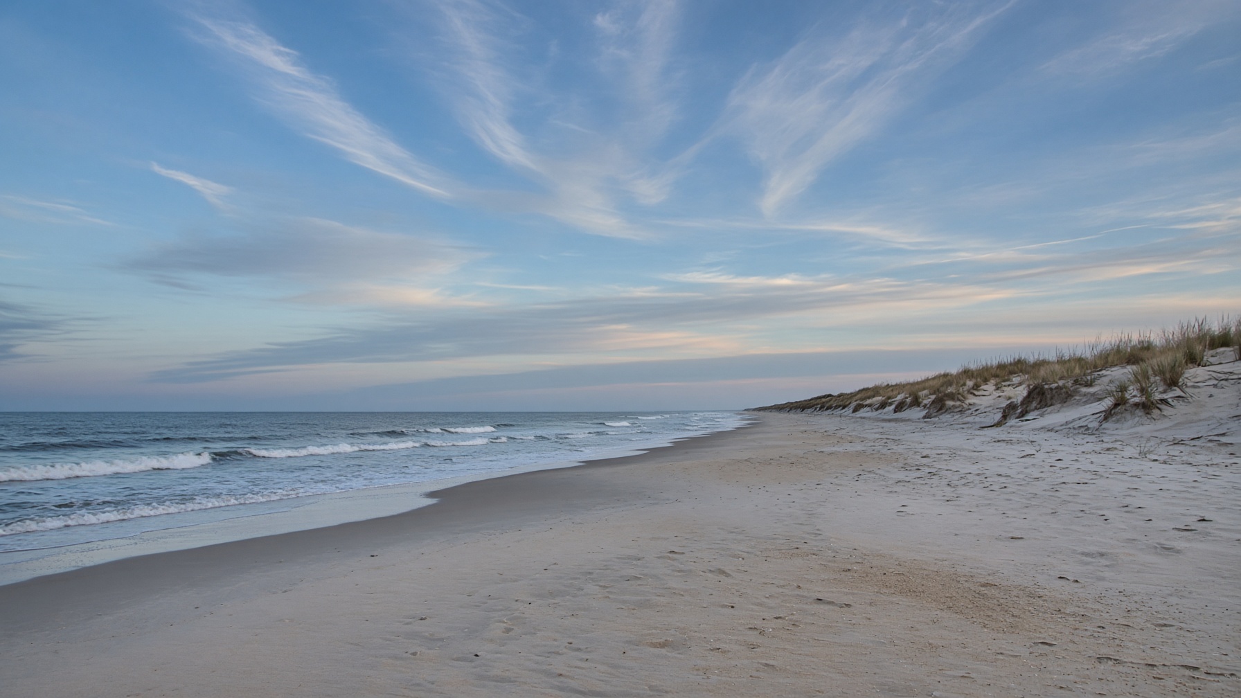
32 miles of it
The Atlantic Beach
One continuous ocean strand, public below the high-water line, changing character every mile.
Fire Island’s ocean beach is the reason the ferries exist. It is also the sidewalk. Because most of the island has no road, people walk the wet sand from town to town — past Point O' Woods’ fence, past the Meat Rack dunes, past stretches with no houses at all.
Lifeguards sit in the larger communities in season. Between towns you are on your own, with rips after storms and nesting plovers in spring. The dunes are not a path; they are the island’s architecture. Walk around them, not over them.
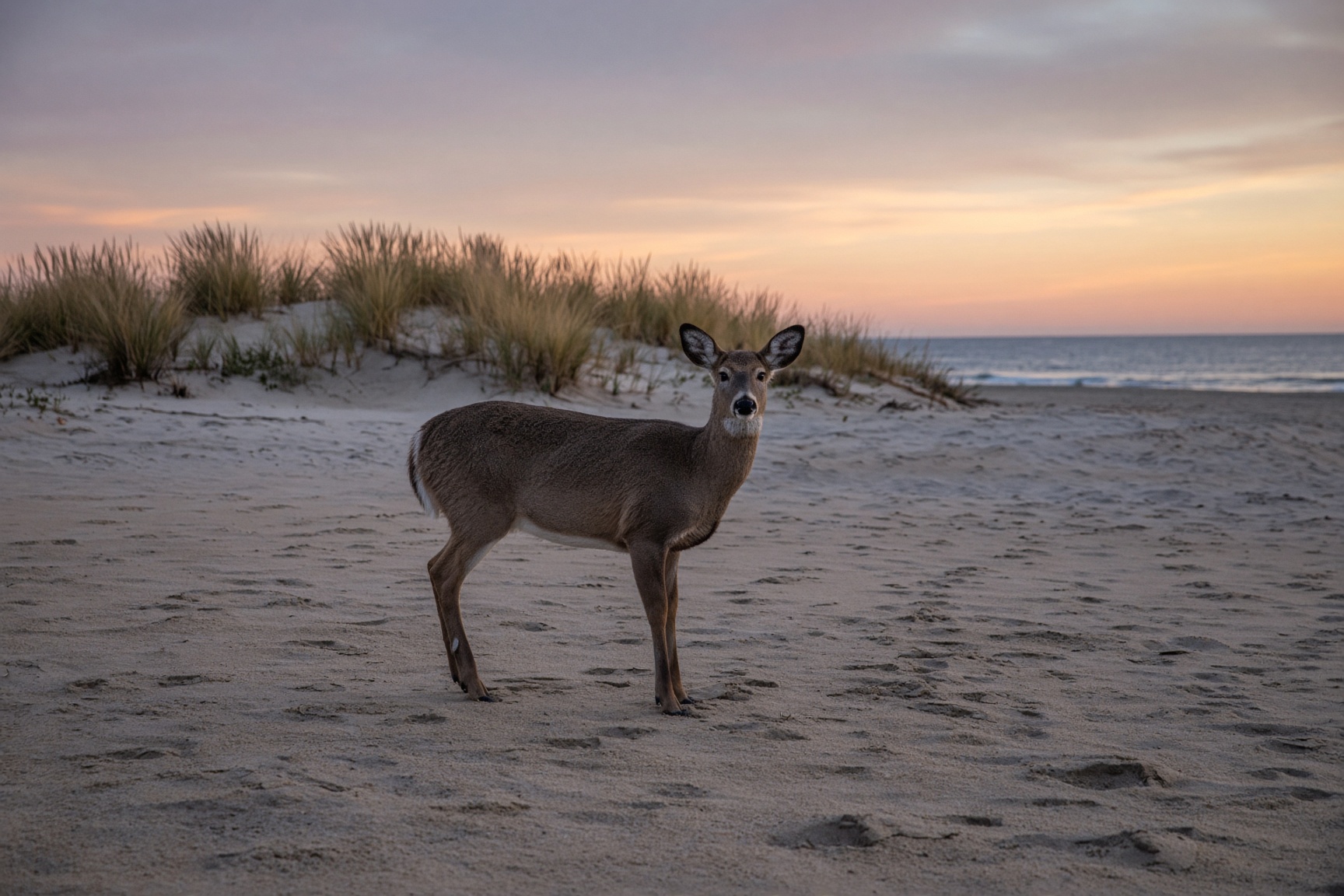
Early morning is the island’s best hour: empty strand, deer on the sand, the light that makes cedar look silver.
- The beach is the public right-of-way. Town walks and docks may not be.
- A cheap folding wagon is more useful than a second suitcase.
- There is almost no shade. Hats, not just sunscreen.
On the map: Atlantique, Wilderness
Camp, then walk east
Watch Hill & the Wilderness
The National Seashore’s east campground and New York’s only federally designated wilderness.
Watch Hill is a marina, a small store, a campground tucked behind the dunes, and a ferry from Patchogue. Stay the night and the island changes register: deer on the walks, a dark sky, the last boat gone.
East of the campground, the Otis Pike Fire Island High Dune Wilderness runs toward Smith Point — seven miles without a village. It is the only wilderness in the National Wilderness Preservation System that sits in New York. Treat it that way: pack out, stay off closures, carry water.
A through-walk from Watch Hill to Smith Point is a long day on sand. Most people go a mile or two, sit, and turn around.
- Campground reservations go through the National Park Service and fill on summer weekends.
- The Watch Hill ferry is a different boat from the Davis Park ferry, even though both leave Patchogue.
- Ticks and poison ivy inland. Long pants for the trail, not just the beach.
On the map: Watch Hill, Wilderness, Davis Park